At Costo Construction, we provide 3D imaging scan services as part of most of our projects as we’ve found it to be a significant value for our clients and design colleagues, especially in efficiencies resulting from shareable scan files that preclude numerous site visits up front during the planning of a project.
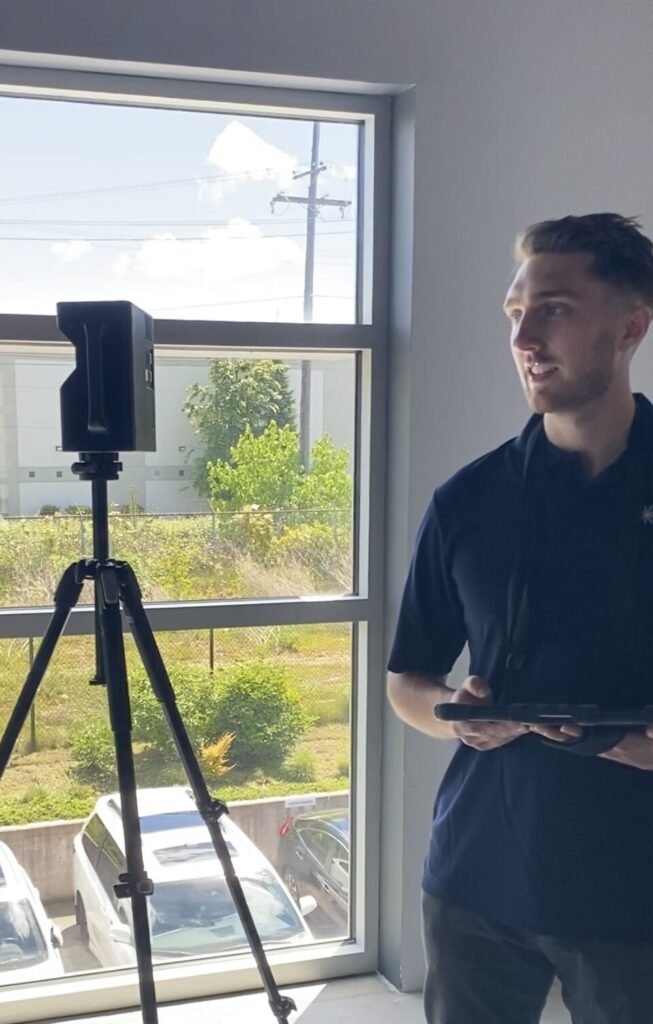
Matterport 3D camera scanning involves using a specialized camera system to capture a series of 2D images from multiple vantage points within a physical space. These images are then processed using Matterport’s proprietary software to create a highly detailed and interactive 3D model of the scanned environment.
Once we perform a scan, we produce several valuable outputs and we can use these to collaborate with design professionals, owners, suppliers and specialized trades in the pre-construction phase of any project. We can produce:
- 3D Virtual Model: The primary output is a realistic and immersive 3D virtual model of the space. This model can be navigated and explored from various perspectives, allowing viewers to move through the space as if they were physically present.
- Virtual Tour: The technician can create a virtual tour that allows viewers to move seamlessly from one area of the space to another, providing a comprehensive understanding of the layout and features.
- Floor Plans: The software can generate 2D floor plans from the 3D scan, providing a traditional representation of the space’s layout.
- 360° Panoramic Views: The technician can produce 360° panoramic views from specific locations within the space, offering a comprehensive view in all directions.
In addition to these outputs, the Matterport software allows viewers to measure and annotate within the scan, creating an evolving file and record of every detail within the space. Viewers can use the software’s measurement tools to take precise measurements of distances, areas, and volumes within the 3D model. This feature is particularly useful for architects, interior designers, and construction professionals who need accurate measurements for planning and design purposes.
Furthermore, viewers can add annotations directly within the 3D model, providing a way to highlight specific features, make notes, or collaborate with others by leaving comments. These annotations can be used to document specific details, mark areas for renovation or improvement, or communicate ideas to other project stakeholders.
By enabling viewers to measure and annotate within the scan, Matterport’s technology facilitates the creation of a comprehensive and detailed record of the space, allowing for enhanced collaboration, decision-making, and documentation throughout the project lifecycle.